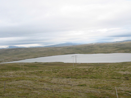
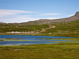
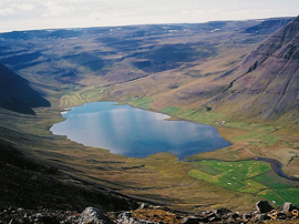
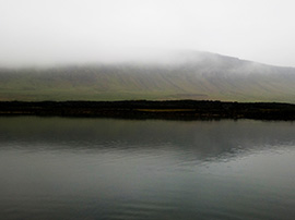
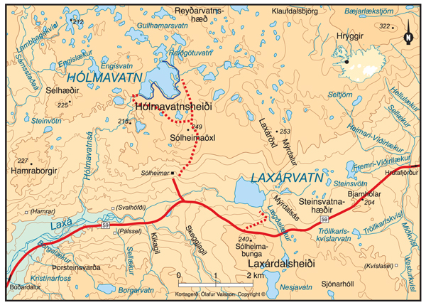
Hólmavatn
Holmavatn
Location: GPS: 65° 14,475’N, 21° 22,921’W
Holmavatn is located on Holmavatnsheidi (highlands), north of the farm Solheimar.
Practical information:
The lake is 2.4 km2. Reykjadalsa river runs to the lake and Eyvindará river runs from the lake. The maximum deep is about 10m with an average depth of 2 metre.
Distance from Reykjavik and the nearest township.
Distance from Reykjavik is about 180 km and 30 km from Budardal. If you take the road called Brattabrekka, you just take a right turn just before arriving at river Laxa I Dolum. The turn leads you to road no. 59 (Laxardalur) You drive about 25 km to the the farm Solheimar. From the farm you need to drive about 5 km to the lake. The road up to the lake is 4×4 vehicles only. You can also take the Holtavorduheidi road instead of Brattabrekka. Check road atlas.
Fishing area:
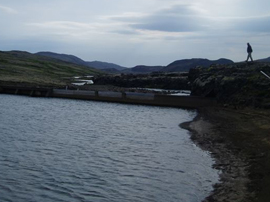
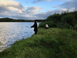
You can fish in the land of Solheimar. Please see the blue line on the map in the Veidikortid brochure.
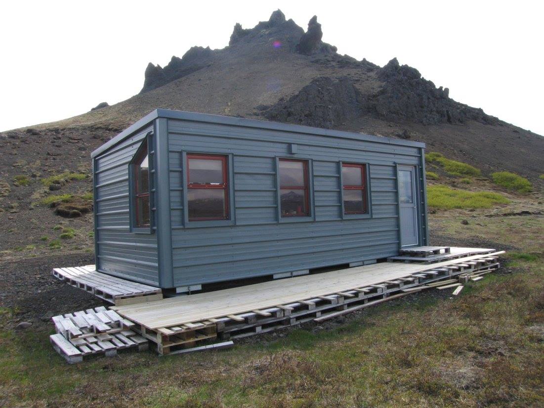
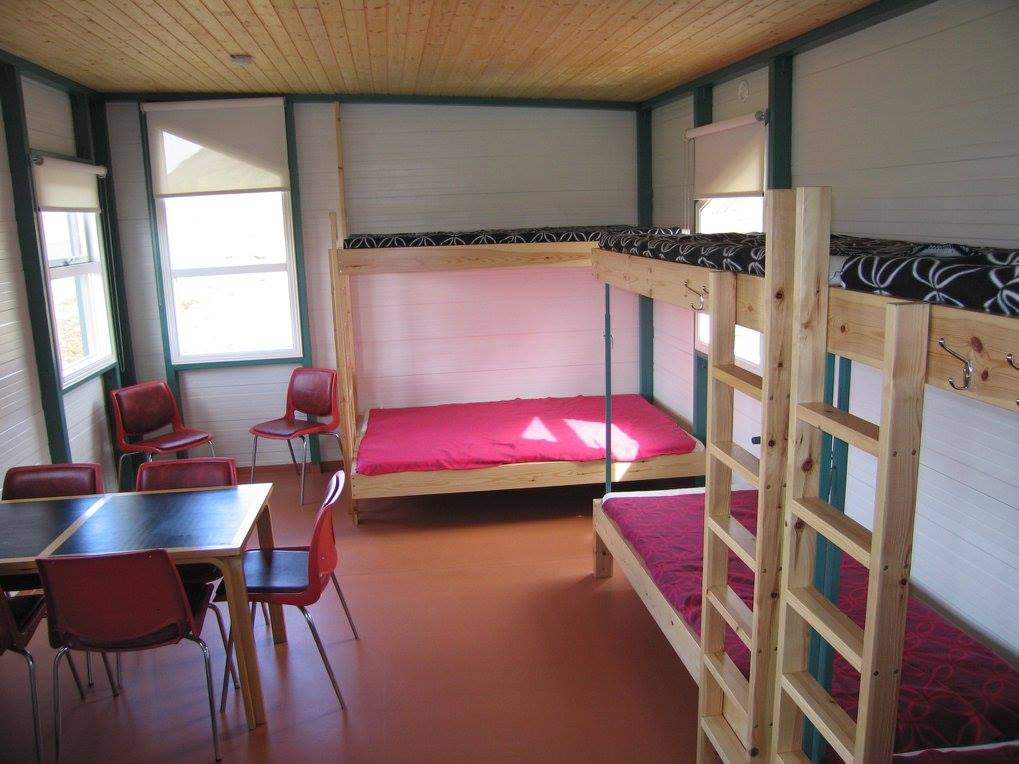
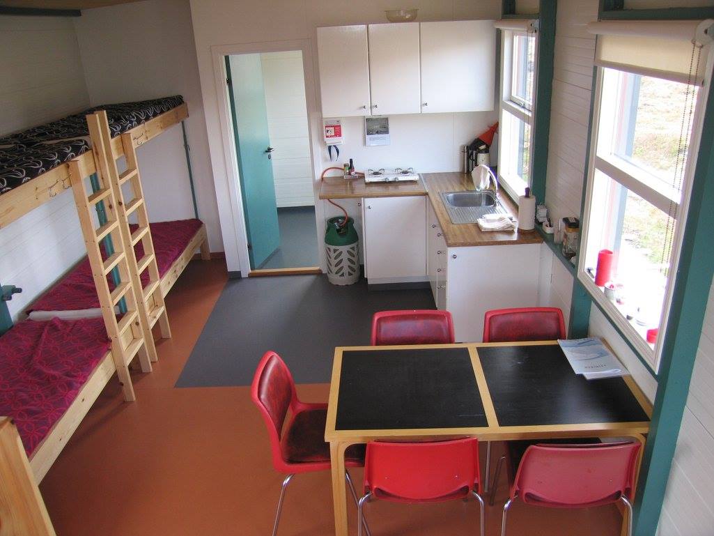
Accommodation:
Camping is free of charge, however there are no toilets or any other hygiene facilities.
Fishing potential:
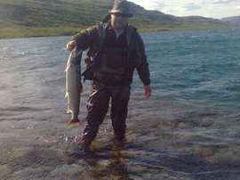
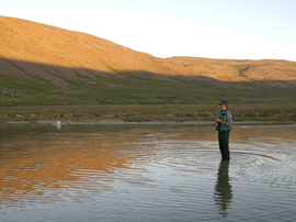
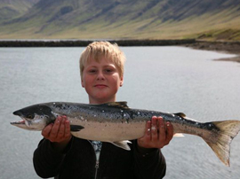
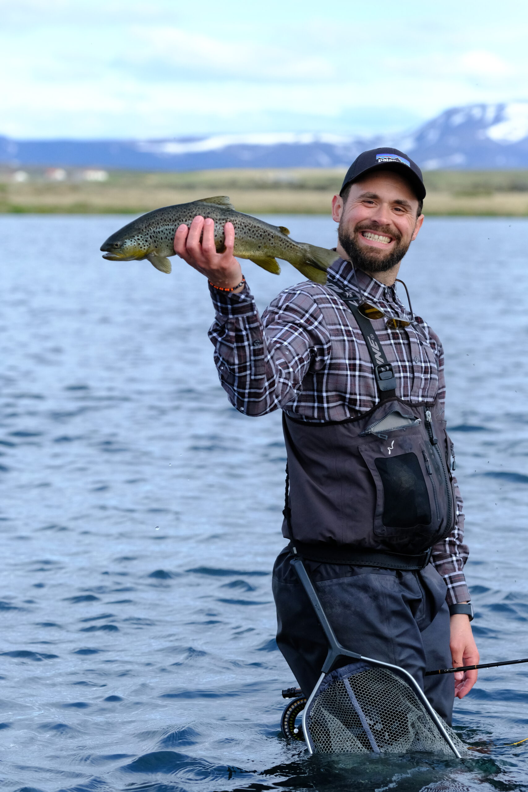
There is an excellent prospect for brown trout fishing. The average size of an individual catch is about 1-2 pounds.
Daily opening hours:
Fishing is allowed from dawn to dusk, but you need to register between 07:00-22.00.
Fishing season:
Fishing season starts around mid June when the roads are ready, and it ends 30th of September.
Bait:
Fly, lure and worm is allowed.
Best time of the year:
It is equl fising through the whole fishing period.
Rules:
Please register before attending to fishing at Solheimar farm and show the Fishing card and some ID. Littering and off-road driving is forbidden. Children under 14 are allowed for free, if accompanied by adult cardholder. Fishermen will be given a emty report to fill in that must be delivered to the farm before leaving.
Contact:
Dadi Einarsson, Solheimar.
{pgsimple id=10|caption=0|tsize=medium|tmax=20|imax=200|close=1}
{weather 2}